更新于:2024-09-19

The University College of Osteopathy
更新于:2024-09-19
概览
关联
6
项与 The University College of Osteopathy 相关的临床试验A Multimodal Manual Therapy-Based Intervention for People With Painful Diabetic Neuropathy: Feasibility of a Randomised Controlled Efficacy Trial
This is the feasibility study of a single-site parallel three-armed participant-blinded controlled randomised efficacy trial of a 5-week course of the 'NeuOst treatment', compared to a designated control intervention, and to usual care only, for adults with pDPN.
开始日期2024-04-30 |
申办/合作机构 |
Applying an Osteopathic Intervention to Improve Mild to Moderate Mental Health
Applying an osteopathic intervention to improve mild to moderate mental health symptoms: a mixed-methods feasibility study protocol.
开始日期2022-12-20 |
申办/合作机构  Swansea University Swansea University [+1] |
OSCAR (Osteopathic Single CAse Research) - Assessing the Effects of Standard and Biopsychosocially-informed Osteopathic Management for Patients With Non-specific Low Back Pain: A Single Case Experimental Design (SCED)
This study aims to collect primary data from patients with low back pain to assess the effect of standard osteopathic management and biopsychosocially-informed osteopathic care using a Single-Case Experimental Design.
开始日期2021-09-01 |
100 项与 The University College of Osteopathy 相关的临床结果
登录后查看更多信息
0 项与 The University College of Osteopathy 相关的专利(医药)
登录后查看更多信息
272
项与 The University College of Osteopathy 相关的文献(医药)2024-11-01·Complementary Therapies in Clinical Practice
Building an evidence base for osteopathy: Trials and tensions. A qualitative study of the experience of clinicians engaging in research
Article
作者: Carnes, Dawn ; Barclay, Krystee ; Engel, Roger ; Ahrens, Gemma ; Guy, Clara ; McCormack, Tess ; Paranthoiene, James ; Vogel, Steven ; Lowe, Cerene ; Grace, Sandra
2024-05-03·Physical Therapy Reviews
Systematic reviews of osteopathic care: protocol for an umbrella review
作者: Tripodi, Nicholas ; Ferreira, Ana Paula ; Steel, Amie ; Draper-Rodi, Jerry ; Muddle, Lee ; Sampath, Kesava ; Thomson, Oliver P. ; Adams, Jon ; Fleischmann, Michael ; Vaughan, Brett ; Cerritelli, Francesco ; Feehan, Jack ; Morin, Chantal ; McLeod, Gopi
2024-05-01·The Journal of Physiology
Heat‐related changes in the velocity and kinetic energy of flowing blood influence the human heart's output during hyperthermia
Article
作者: Watanabe, Sumie ; González-Alonso, José ; Gibson, Oliver R ; Koch Esteves, Nuno ; Akiyama, Koichi ; Watanabe, Kazuhito
2
项与 The University College of Osteopathy 相关的新闻(医药)2023-12-18
·生物探索
近期,UCO护理部的一个团队确定了两种疼痛生物标志物的存在,他们发现这两种标志物在唾液中的水平可以作为有效、非侵入性诊断认知症患者疼痛级别的工具。对于认知症患者来说,疼痛是一个未被充分诊断和治疗的问题,特别是对于处于疾病晚期的患者而言,他们无法高效地用语言表达身体正在经受的痛感。考虑到疼痛随着认知症患者年龄的增加而越来越频繁,且对于存在语言表达障碍的人而言,想要识别并减轻他们的痛感又格外困难,寻找有效的疼痛诊断方法一直是研究人员追求的目标。科尔多瓦大学护理系多年来一直在研究阿尔茨海默病等神经退行性疾病引起的疼痛。近期,他们发表了由研究人员Vanesa Cantón,Pilar Carrera和 Manuel Rich与哈恩大学合作进行的一项研究,展示了如何使用唾液作为对认知症患者有效且非侵入性的疼痛检测手段。在最新研究中,他们将65岁以上被诊断患有中至重度认知症、且无法沟通的患者与对照组(65岁以上未患病人群)进行了比对,研究了两组研究对象唾液样本中sTNFR2(可溶性肿瘤坏死因子受体2)和SIgA(免疫球蛋白A)疼痛生物标志物的水平。这种方法可以补充观察到的疼痛量级,并以一种简单且非侵入性的方式对疼痛水平进行评估,让卫生和护理人员更好地判断患者的身体情况,以便在必要时使用相应的镇痛剂,提高患者生活质量。“能够在唾液中通过生物标志物测定疼痛水平是非常幸运的发现,因为我们能够从中获取样本的大多数患者都已经处于非常晚期的状态,患有晚期认知症且卧床不起,因此获取样本方式的刺激性和侵入性越小越好,”研究人员María Pilar Carrera解释说。该文章的主要作者Vanesa Cantón指出,首次通过唾液中的生物标志物测定疼痛水平(之前是使用血液或血浆进行的)有助于解决认知症患者尚未解决的问题。测试结果描述了这些生物标志物的水平,与对照组相比,认知症患者的sTNFR2降低,这表明了炎症是如何调节的;就sIgA而言,研究小组观察到,认知症患者体内的免疫球蛋白升高,表明免疫系统反应发生了改变。因此,他们确定了这些生物标志物可以评估整个疾病演变过程中疼痛水平的演变。到目前为止,能在减少沟通的情况下检查患者疼痛水平的常用方法是阿尔茨海默病疼痛评定量表(PAIN-AD),这是一种对晚期认知症患者疼痛水平的观察方法。最近,同一研究小组基于五种行为指标:呼吸、负性发声、面部表情、肢体语言和可安慰程度验证了这一量表,并表示唾液生物标记物水平可与此表中的数据结合,共同验证疼痛评测的准确性。研究人员指出:“认知症目前尚不可治愈,因此通过唾液评估患者的身体疼痛水平对提高他们的生活质量至关重要。”在更大的样本范围下、于特定环境(例如疗养院)中对这一评估方法开展进一步测试是该研究团队的下一阶段目标。参考文献: V. Cantón-Habas et al, Determination of soluble tumor necrosis factor receptor II and secretory immunoglobulin A in saliva of patients with dementia, European Archives of Psychiatry and Clinical Neuroscience (2023). DOI: 10.1007/s00406-023-01693-9责编|探索君排版|探索君End往期精选围观王晓红教授团队:绘制单次冷冻囊胚移植成功的女性植入期外周血microRNA动态表达谱,开拓领域创新研究热文维生素B12在细胞重编程与组织再生中发挥关键作用!热文不孕症治疗新方向!又一导致女性不孕的关键因素被发现热文Let-7家族miRNA或为癌症潜在免疫治疗靶点热文一项最新发现或可用于阿尔茨海默病药物开发点击“阅读原文”,了解更多~
2023-11-07
Researchers are creating a database that harmonizes the recording of disturbances caused by insects and diseases in forests in 8 European countries by combining remote sensing, satellite images and field data.
The University of Córdoba is participating in the creation of the first database that harmonizes the recording of disturbances caused by insects and diseases in forests in 8 European countries by combining remote sensing, satellite images and field data
Forest damage caused by insects and diseases is increasing in many parts of the world due to climate change as reductions in plants' defense mechanisms, induced by global warming, seem to contribute to forests' increased vulnerability to the incidence of pathogens and diseases.
These disturbances jeopardize many of the beneficial effects that forests offer the world, such as carbon sequestration, the regulation of water flows, wood production and the conservation of biodiversity. Having a complete and harmonized map of what these disturbances are and have been in Europe is essential to be able to understand and anticipate future incidents, thus protecting forests and their advantages.
This unified European registry did not exist until now. An international team coordinated by the Joint Research Centre (JRC) of the European Commission, on which Rocío Hernández and José Luis Quero, researchers in the Department of Forest Engineering at the University of Cordoba, have worked, has developed a new spatially detailed database on disturbances caused by pathogens and diseases: the Database of European Forest Insect and Disease Disturbances -- DEFID2.
"We worked for months on a committee of experts in which the different systems for the recording of these disturbances in the different countries and regions were presented, and a series of links were established, giving rise to this more simplified, but very robust, common database, one that greatly minimizes subjectivity, and that we tested with data from the different countries," says Rocío Hernández about the process of creating this "common language for all the scenarios of Europe's forests," explained José Luis Quero. All countries can now translate their records into the common language that is the DEFID2 and make them available to the entire community via this open tool.
The database contains more than 650,000 harmonized georeferenced records, mapping insects and diseases occurring between 1963 and 2021 in European forests. The records currently cover eight different countries and were acquired through various methods, such as land surveys and remote sensing techniques.
"The important thing is that this harmonized protocol allows anyone to supply the database. This way we can expand the number of affected areas included in order to increase the power of predictive models and reduce levels of uncertainty," explains Quero.
Records in DEFID2 are described by a set of qualitative attributes, including the severity and patterns of damage, pathogens, host tree species, climate-driven triggers, silvicultural practices, and eventual health interventions. In addition, "there is a very interesting component: this is the first database that connects with remote sensing data," says Hernández. In this way, the spatial pattern of damage and the temporal pattern are united.
The database is complemented by Landsat Normalized Burn Ratio time series satellite data of the affected forest areas, an index very sensitive to abrupt changes in vegetation that allows one, through images, to see the onset, duration and magnitude of the disturbance.
In addition to taking into account spatial and temporal patterns, which facilitates remote sensing with satellite passage data at different times, there is a third important level of information: the interaction between factors. As Quero explains: "damage by pathogens and diseases are biotic damage (internal, of living organisms), but they have an abiotic history (external factors)." That is, the information on biotic damage is cross-checked with environmental events, such as drought, wind and fires. Both factors can be detected by remote sensing and the relationship between the two is analyzed, both past and future, in order to predict whether certain environmental conditions can be a breeding ground for a new disease or the development of a pathogen.
Data from the University of Córdoba
The drying of Quercus pyrenaica, mainly oak and cork oak species; and decay in conifers, such as wild pine, black pine and the Spanish fir, are some of the cases of damage to Spanish forests that have been included thanks to studies by the UCO. This data was gathered by these researchers over more than 10 years and through several research projects that, in a pioneering way, focused on the use of remote sensing to document and analyze tree decay damage.
This common European effort in the generation of the DEFID2 database arises as a novel resource making a unique contribution to the designing of networks of experiments, improving understanding of the ecological processes behind biotic disturbances of forests, monitoring their dynamics, and improving their representation in terrestrial and climate models. Using it and continuing to feed it data will bolster its potential to protect forests and the benefits they provide.
100 项与 The University College of Osteopathy 相关的药物交易
登录后查看更多信息
100 项与 The University College of Osteopathy 相关的转化医学
登录后查看更多信息
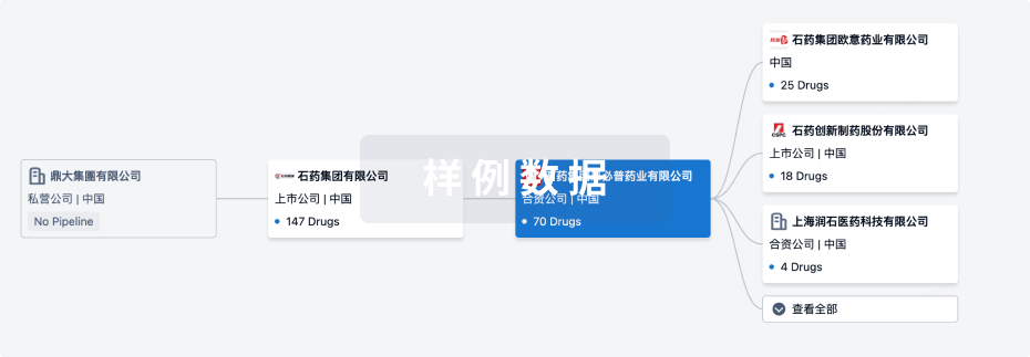
组织架构
使用我们的机构树数据加速您的研究。
登录
或
管线布局
2024年10月06日管线快照
无数据报导
登录后保持更新
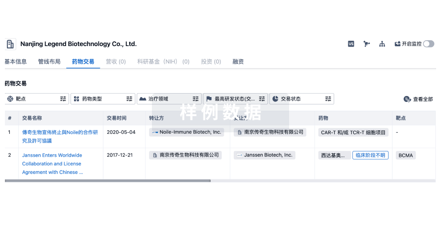
药物交易
使用我们的药物交易数据加速您的研究。
登录
或
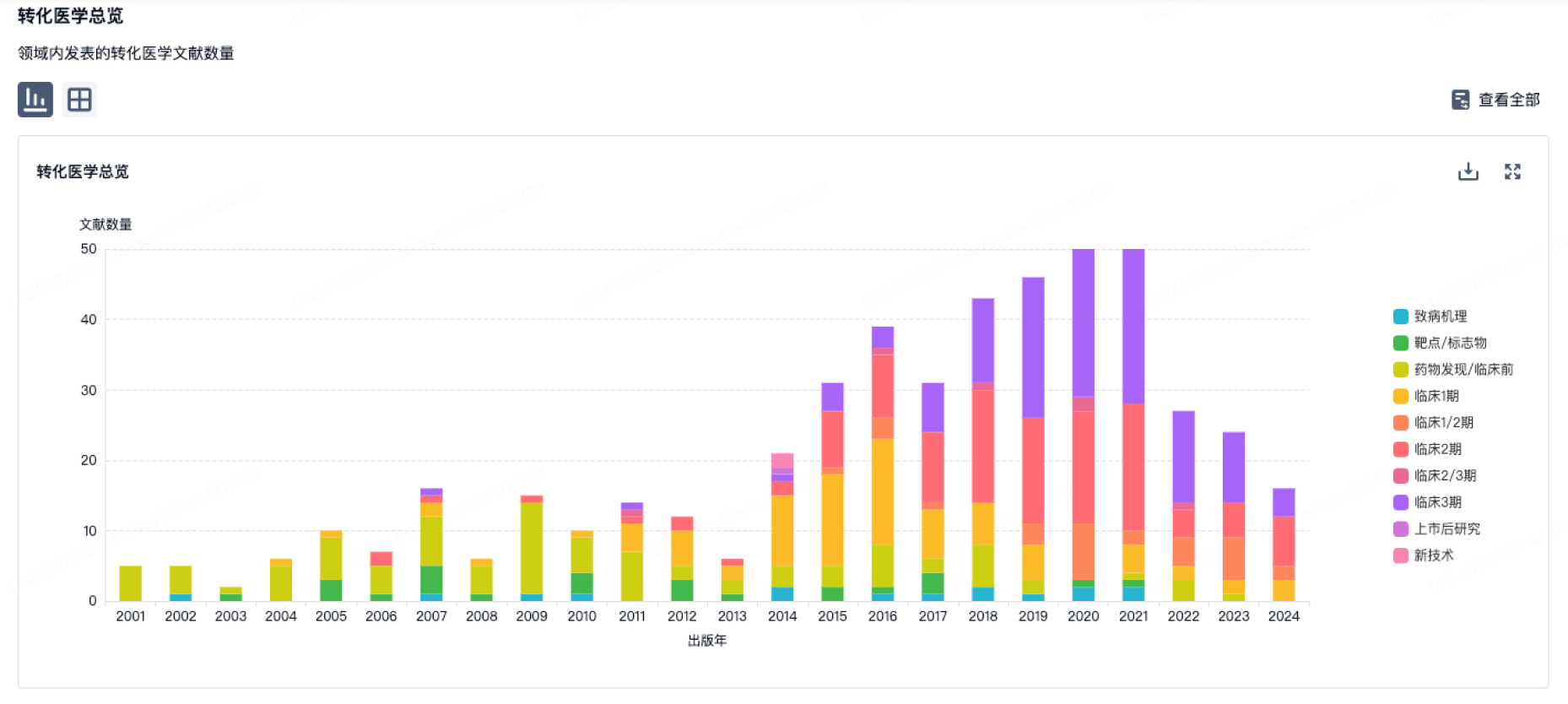
转化医学
使用我们的转化医学数据加速您的研究。
登录
或
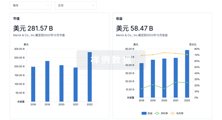
营收
使用 Synapse 探索超过 36 万个组织的财务状况。
登录
或
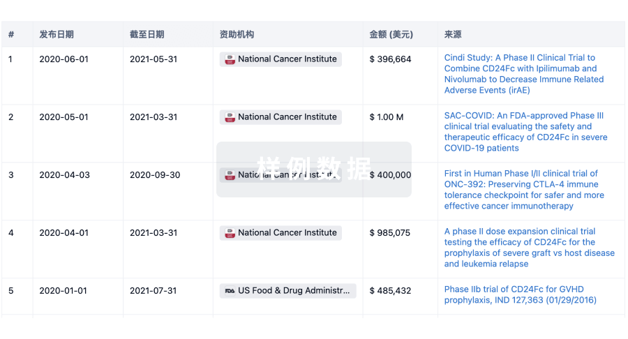
科研基金(NIH)
访问超过 200 万项资助和基金信息,以提升您的研究之旅。
登录
或
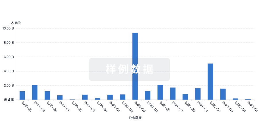
投资
深入了解从初创企业到成熟企业的最新公司投资动态。
登录
或
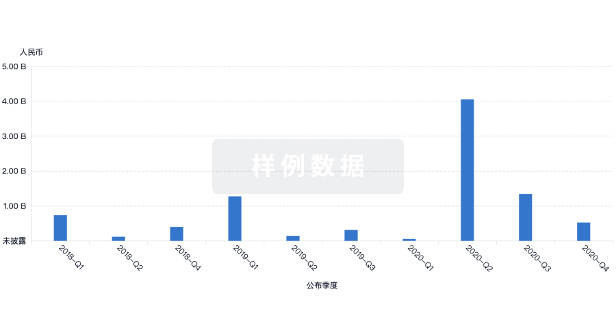
融资
发掘融资趋势以验证和推进您的投资机会。
登录
或
标准版
¥16800
元/账号/年
新药情报库 | 省钱又好用!
立即使用
来和芽仔聊天吧
立即开始免费试用!
智慧芽新药情报库是智慧芽专为生命科学人士构建的基于AI的创新药情报平台,助您全方位提升您的研发与决策效率。
立即开始数据试用!
智慧芽新药库数据也通过智慧芽数据服务平台,以API或者数据包形式对外开放,助您更加充分利用智慧芽新药情报信息。
生物序列数据库
生物药研发创新
免费使用
化学结构数据库
小分子化药研发创新
免费使用